West of the Paraguay River lies the Chaco, a vast and thinly populated plain of thorn forest, palm savanna and wetlands, rich in wildlife and home to Indigenous peoples and Mennonite colonies.
The Chaco covers more than half of Paraguay but holds only a small share of its people. The Transchaco Highway crosses it from Asunción towards Bolivia, passing the palm savannas and wetlands of the Lower Chaco before reaching the Mennonite towns of the Central Chaco, such as Filadelfia and Loma Plata. Travel with a local guide or operator, allow at least three or four days, and expect long distances and simple accommodation.
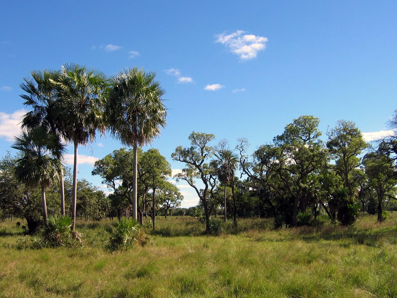
The dry Chaco forest, low and thorny, covers much of the west, protected in places by large national parks such as Defensores del Chaco. Wildlife includes armadillos, peccaries and many birds; visits to remote parks need careful planning with a guide.
Photo: Unknown · CC BY 1.0 · Wikimedia Commons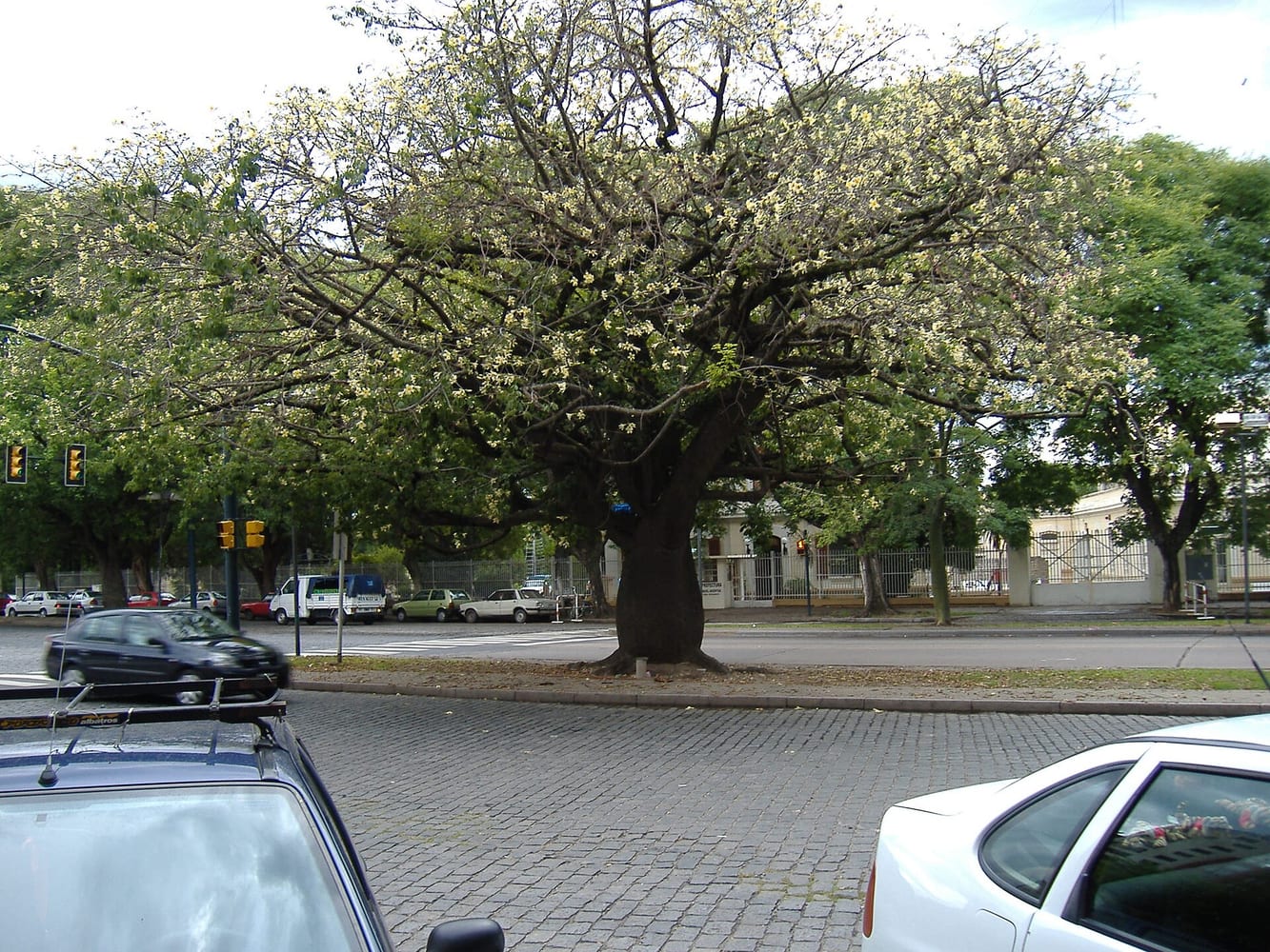
The palo borracho, or bottle tree, stores water in its swollen trunk and is one of the symbols of the Chaco. Its large, pale flowers are a striking sight when the tree is in bloom.
Photo: No machine-readable author provided. Pablo-flores assumed (based on copyright claims). · CC BY-SA 2.5 · Wikimedia Commons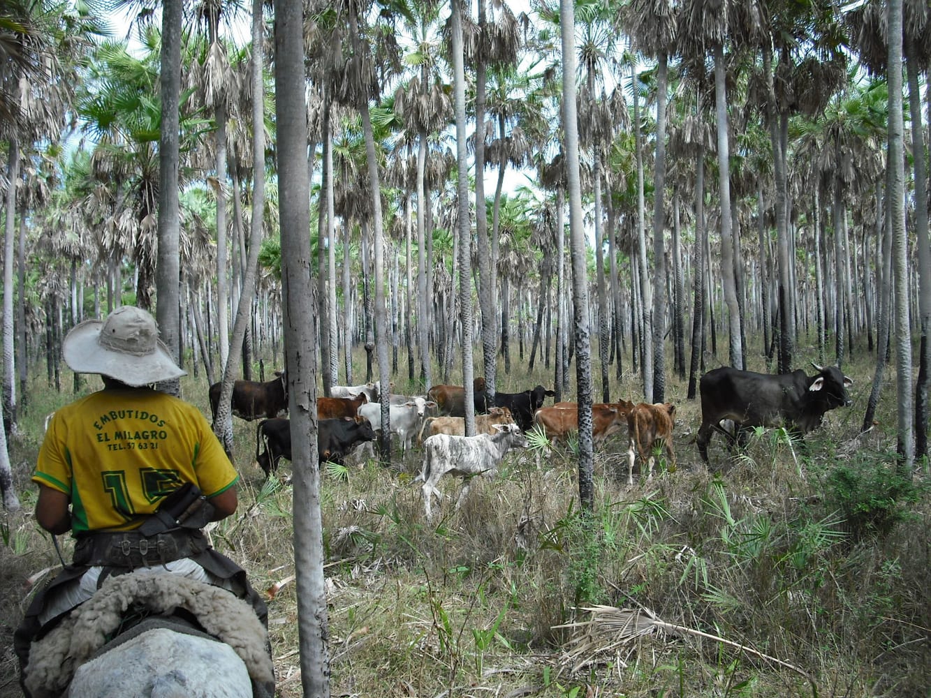
In the Lower Chaco, near the Paraguay River, seasonal wetlands alternate with savannas of caranday palms. Herons, storks, caimans and capybaras are often seen from the road.
Photo: Peer V · CC BY-SA 3.0 · Wikimedia Commons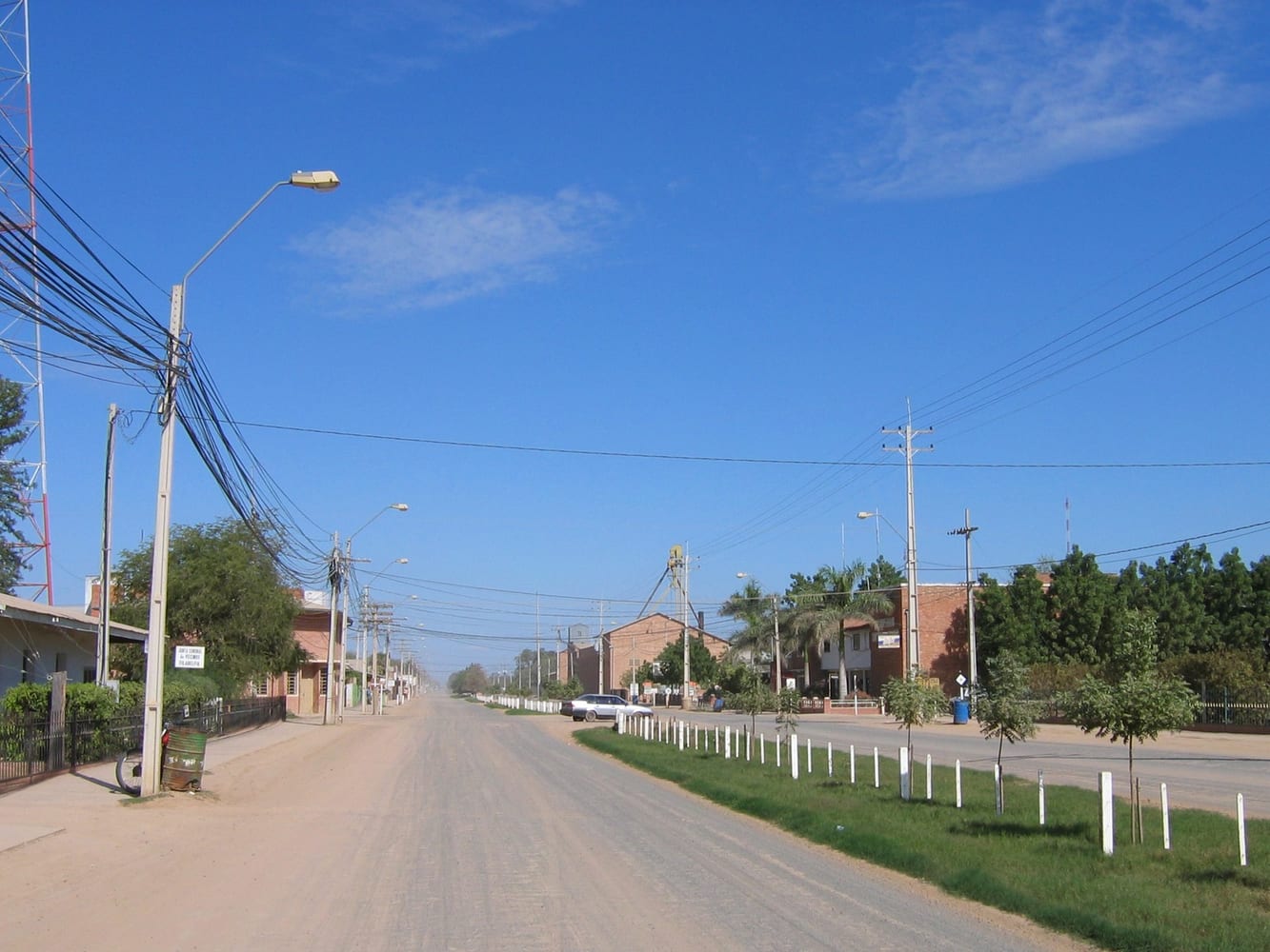
The main town of the Fernheim Mennonite colony, founded in the 1930s, with wide streets, a museum and cooperatives. Along with Loma Plata, it is the usual base in the Central Chaco.
Photo: Ilosuna · CC BY 1.0 · Wikimedia Commons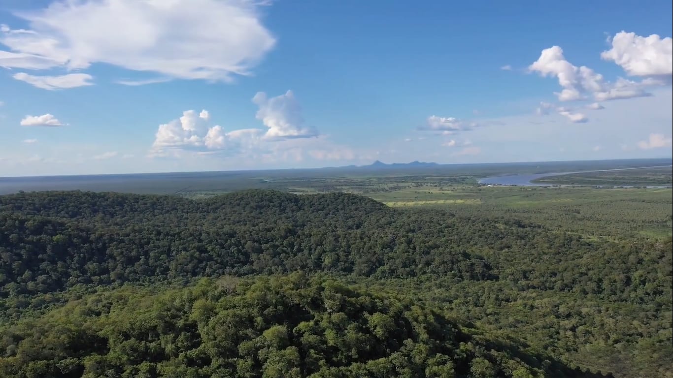
The Paraguay River marks the eastern edge of the Chaco, with forests and wetlands along its banks. River trips and lookouts near Asunción give a first view of the landscape.
Photo: Chipaguasustudios · CC0 · Wikimedia CommonsEntry requirements, visas, health advice and safety conditions change. Before you travel, check Smartraveller and the official sources of each country.