Mexico’s southernmost state combines Maya cities hidden in the rainforest, turquoise waterfalls, a dramatic river canyon and the highland town of San Cristóbal de las Casas.
Chiapas works well as a route: start in Tuxtla Gutiérrez with the Sumidero Canyon, continue to San Cristóbal de las Casas for two or three nights, then drive through the mountains to Palenque, stopping at the waterfalls. Allow five to six days, more if you add Yaxchilán and Bonampak near the Guatemalan border. Mountain roads are winding and slow, so plan shorter driving days and travel in daylight.
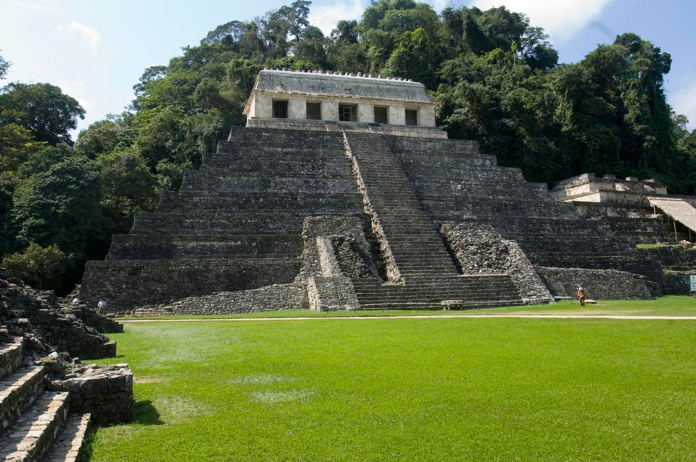
A Maya city set against jungle-covered hills, known for the Temple of the Inscriptions and its palace with an unusual tower. Visit early in the morning, when it is cooler and you may hear howler monkeys.
Photo: Comisión Mexicana de Filmaciones from México D. F., México · CC BY-SA 2.0 · Wikimedia Commons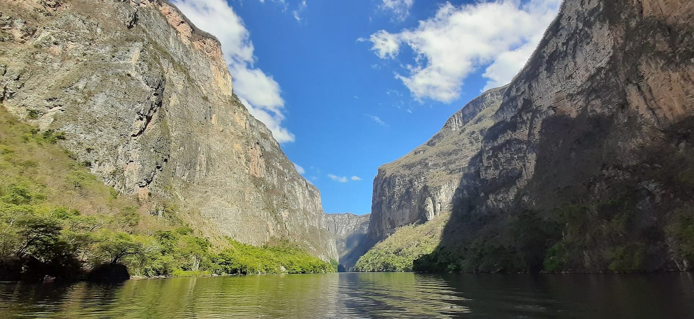
A deep canyon on the Grijalva River with walls rising high above the water, explored by boat from Chiapa de Corzo or near Tuxtla. Look for crocodiles, birds and monkeys along the banks, and bring a hat and a light jacket for the spray.
Photo: Sgroey · CC BY-SA 4.0 · Wikimedia Commons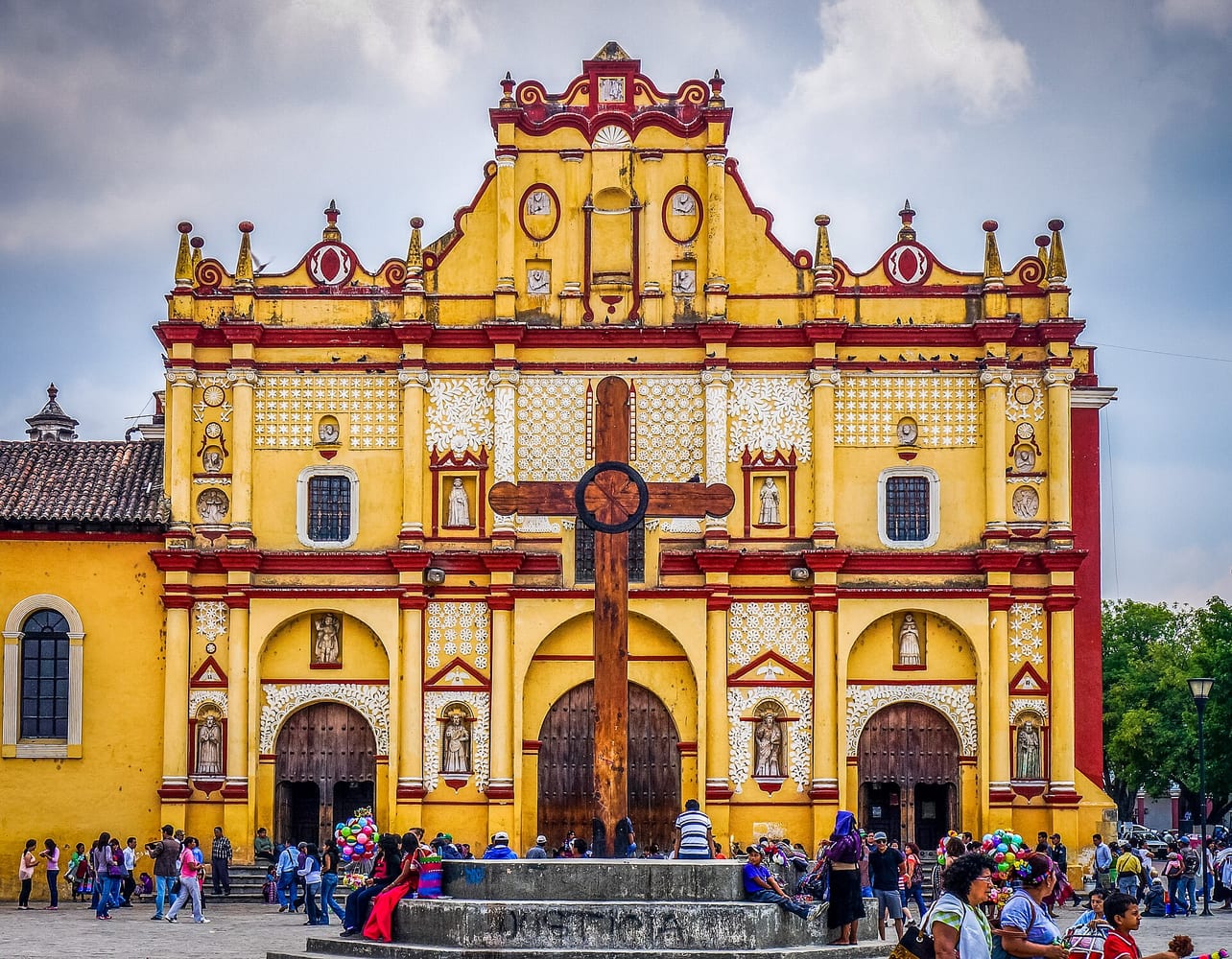
A colonial highland town of colourful houses, churches and cobbled streets, surrounded by Indigenous Tzotzil and Tzeltal communities. Evenings are cool at this altitude; visits to nearby villages are best made with a local guide who can explain customs, including when photos are not welcome.
Photo: GameOfLight · CC BY-SA 3.0 · Wikimedia Commons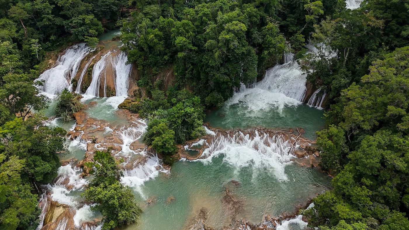
A series of cascades and pools on the road between San Cristóbal and Palenque, at their most turquoise in the dry season. After heavy rain the water turns brown, so the dry months are the best time to stop.
Photo: Own work · CC BY-SA 4.0 · Wikimedia Commons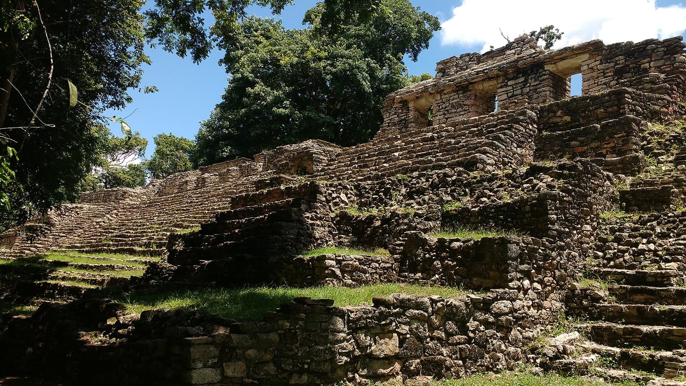
A Maya city on the banks of the Usumacinta River, reached only by boat, with carved lintels and temples deep in the forest. It is usually combined with Bonampak, famous for its murals, on a long day trip from Palenque.
Photo: ZoRrO0880 · CC BY-SA 4.0 · Wikimedia CommonsEntry requirements, visas, health advice and safety conditions change. Before you travel, check Smartraveller and the official sources of each country.