Venezuela’s long Caribbean coastline includes coral archipelagos, mangrove-fringed cays, mountains that drop to the sea and the island of Margarita.
The coast stretches for well over two thousand kilometres, with protected areas such as the Los Roques archipelago, the cays of Morrocoy and the bays of Mochima. Inland, the forested mountains of Henri Pittier National Park separate the coastal villages from the cities of the interior. Beaches, snorkelling and boat trips between the islands are the main activities. The Australian Government may advise against travel to Venezuela; this page is for information only, and Panorama Tours plans trips only when official advice allows.
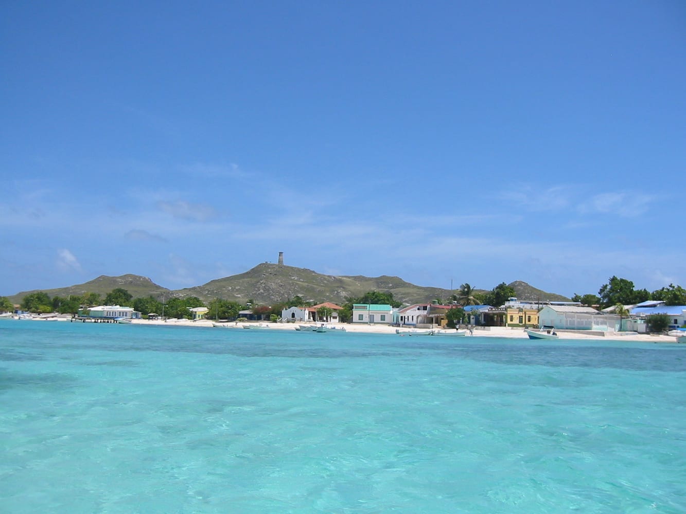
A national park of coral islands, reefs and shallow turquoise lagoons north of the mainland, with a small village on Gran Roque. Visitor activities include boat trips between the cays, snorkelling and birdwatching.
Photo: Juan valero · CC BY-SA 3.0 · Wikimedia Commons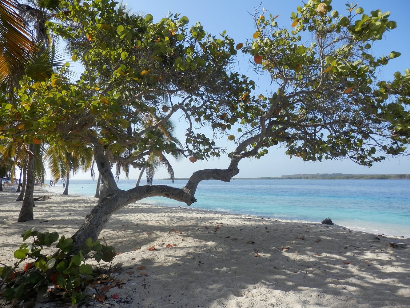
A national park of small cays, mangroves and white sand beaches in a shallow bay on the western coast. Boats from the nearby towns take visitors to cays such as Cayo Sombrero.
Photo: Hireem · CC BY-SA 4.0 · Wikimedia Commons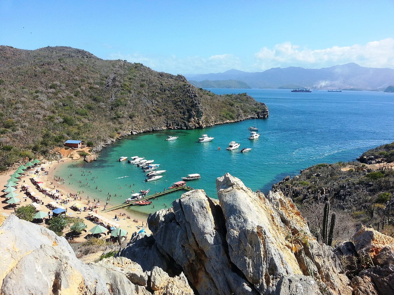
A national park of bays, inlets and islands where dry mountains meet the sea in the east of the country. Boat trips visit secluded beaches and snorkelling spots.
Photo: Virginia Ortiz · CC BY-SA 3.0 · Wikimedia Commons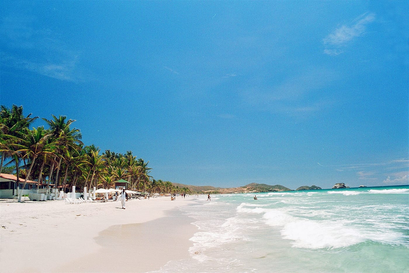
The largest Venezuelan island in the Caribbean, with beaches, colonial forts and fishing villages such as Juangriego. Its sunsets over the bay are well known.
Photo: User:Wilfredor · CC0 · Wikimedia Commons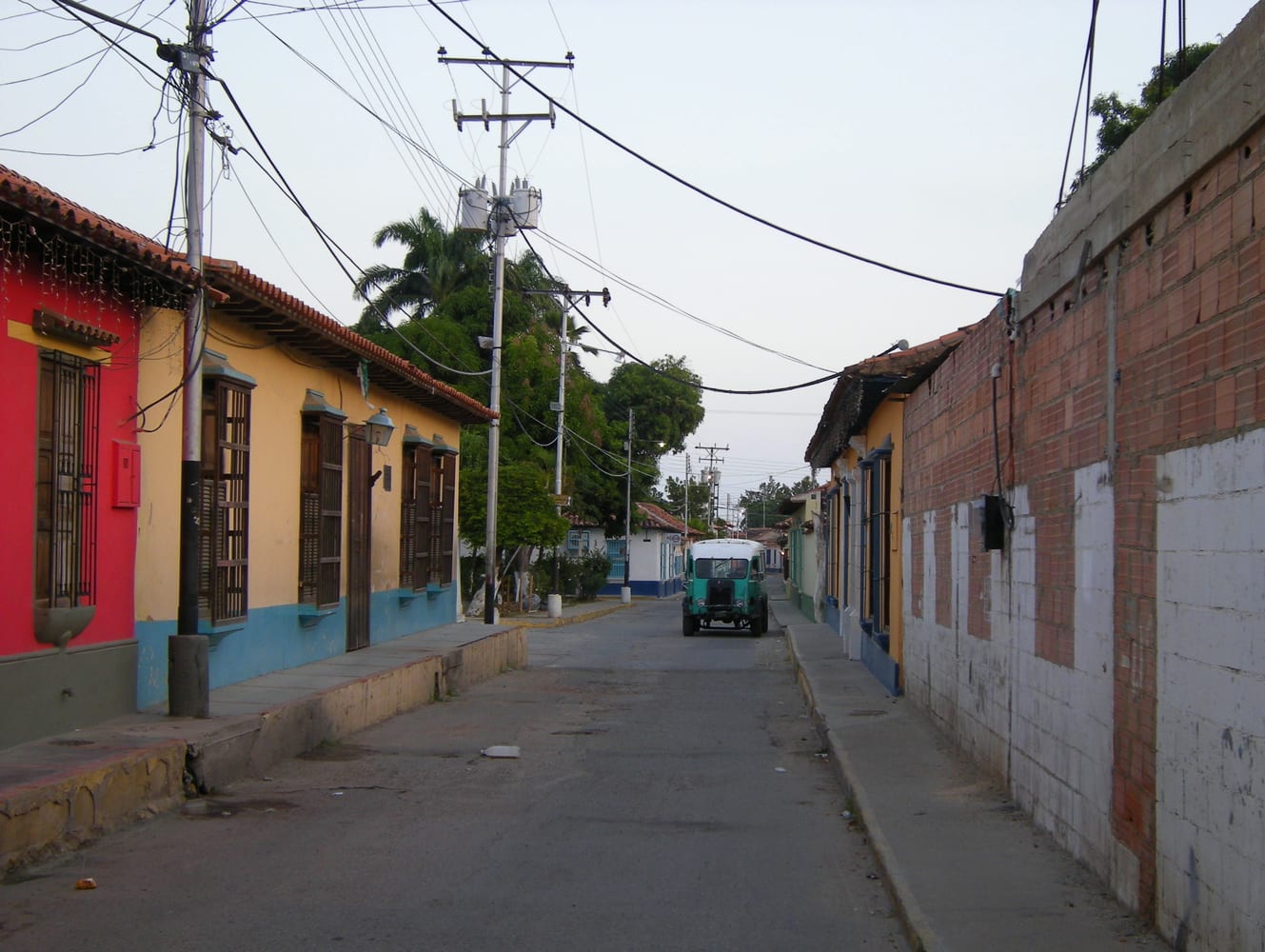
A colonial village and fishing port on the coast, reached by a winding mountain road through the cloud forest of Henri Pittier National Park. Playa Grande, nearby, is lined with coconut palms.
Photo: Leandro Neumann Ciuffo · CC BY 2.0 · Wikimedia CommonsEntry requirements, visas, health advice and safety conditions change. Before you travel, check Smartraveller and the official sources of each country.