The Orinoco, one of South America’s great rivers, crosses Venezuela from the Amazon frontier to a vast delta on the Atlantic, past rapids, savannah, historic river towns and forest.
The landscapes of the Orinoco change along its course: rapids and granite outcrops near Puerto Ayacucho in the south, the broad river at Ciudad Bolívar, and the maze of channels, mangroves and forest of the delta, home to the Warao people. Journeys here are by boat, with simple lodges and a slow pace set by the river. Wildlife such as river dolphins, monkeys and many birds can be seen. The Australian Government may advise against travel to Venezuela; this page is for information only, and Panorama Tours plans trips only when official advice allows.
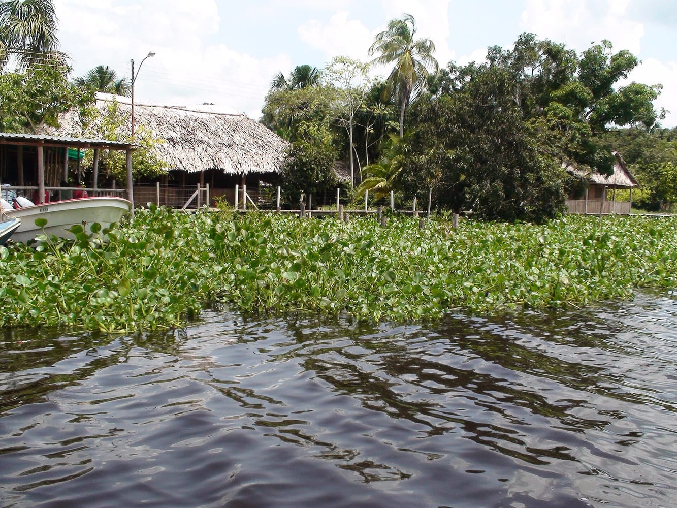
A vast delta of channels, called caños, winding through forest and mangroves before the river reaches the Atlantic. Visits are by boat from riverside lodges; bring insect repellent and light long-sleeved clothing.
Photo: Antolin Martinez A. · CC BY-SA 3.0 · Wikimedia Commons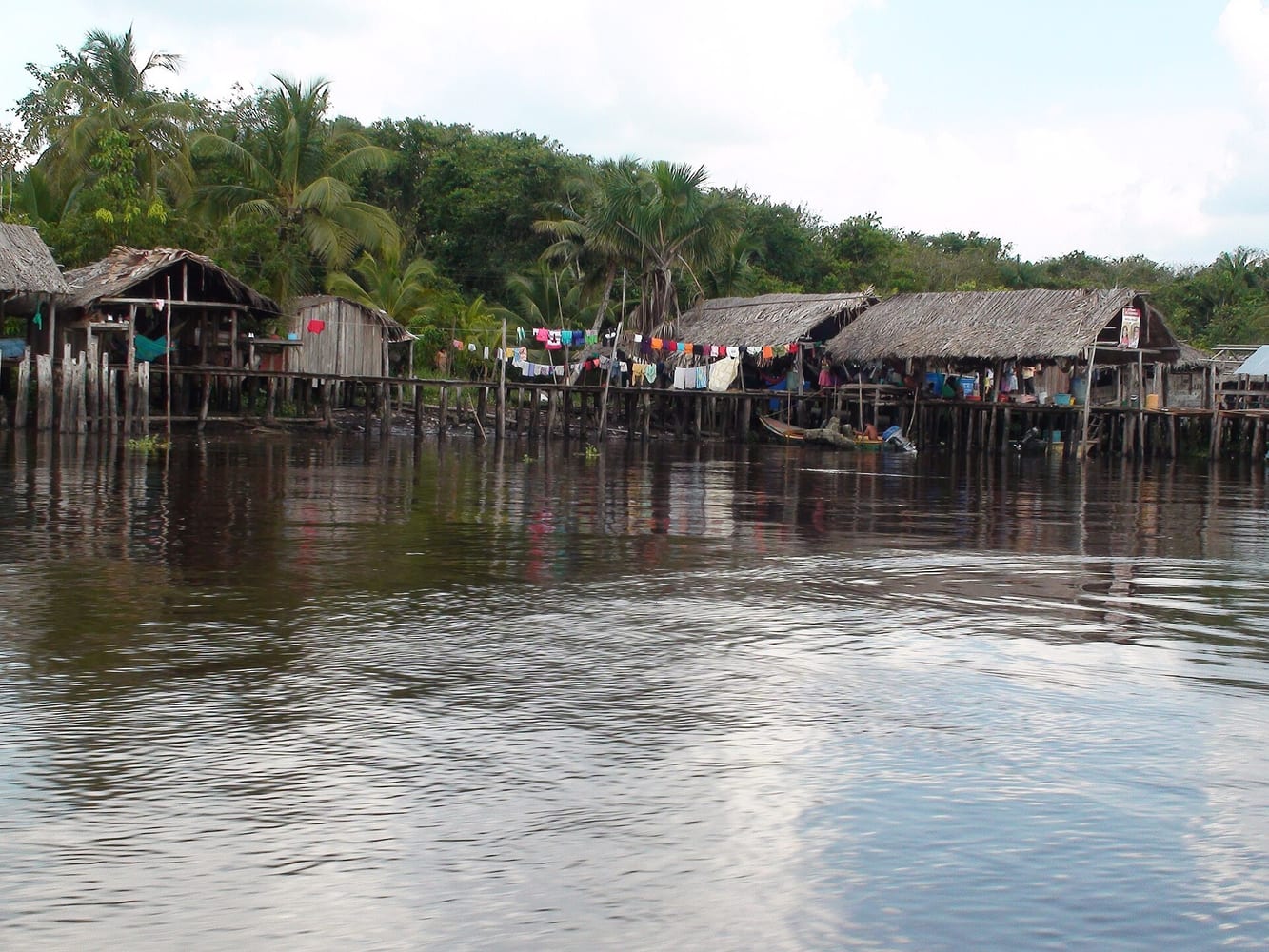
Houses built on stilts over the water, the traditional homes of the Warao people of the delta. Visits should always be arranged with local guides and with respect for the communities.
Photo: Antolin Martinez A. · CC BY-SA 3.0 · Wikimedia Commons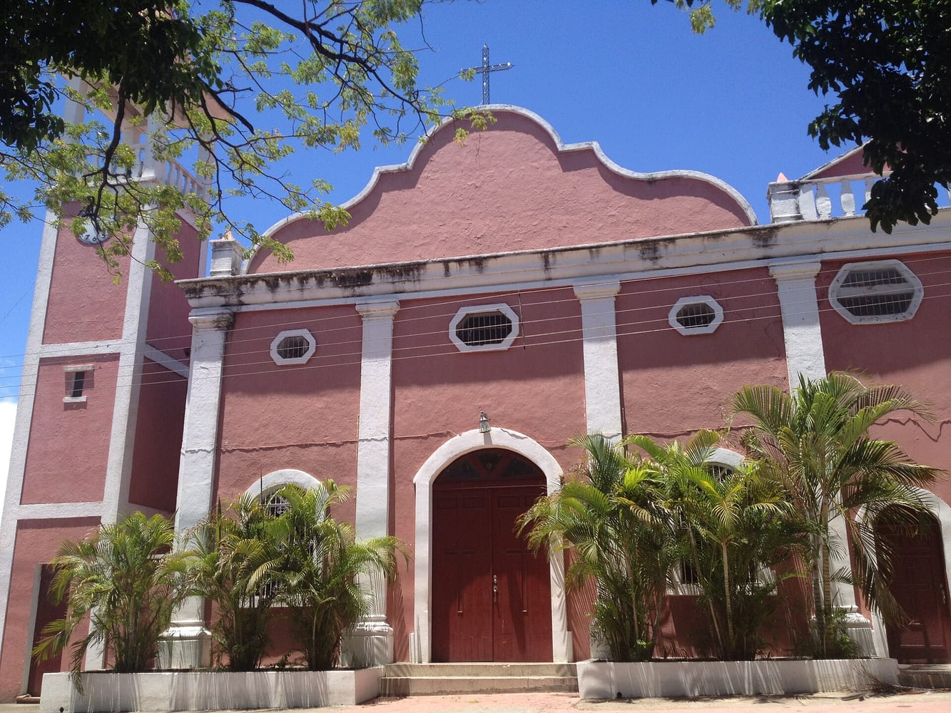
A historic river town, formerly called Angostura, where the Congress of Angostura met in 1819, with colourful colonial buildings above a riverside promenade. The old quarter is compact and best seen in the cooler hours.
Photo: User:angelmed20 · CC BY-SA 3.0 · Wikimedia Commons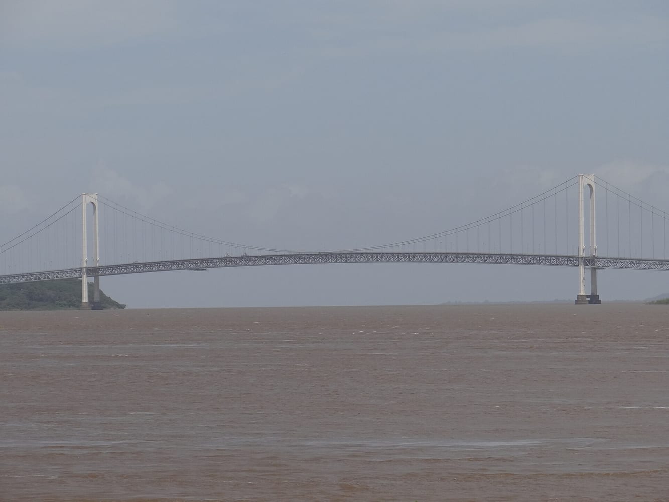
A suspension bridge across the Orinoco near Ciudad Bolívar, for decades the only bridge over the river. It is best seen from the riverside promenade, especially at dusk.
Photo: Samuelistok · CC BY-SA 3.0 · Wikimedia Commons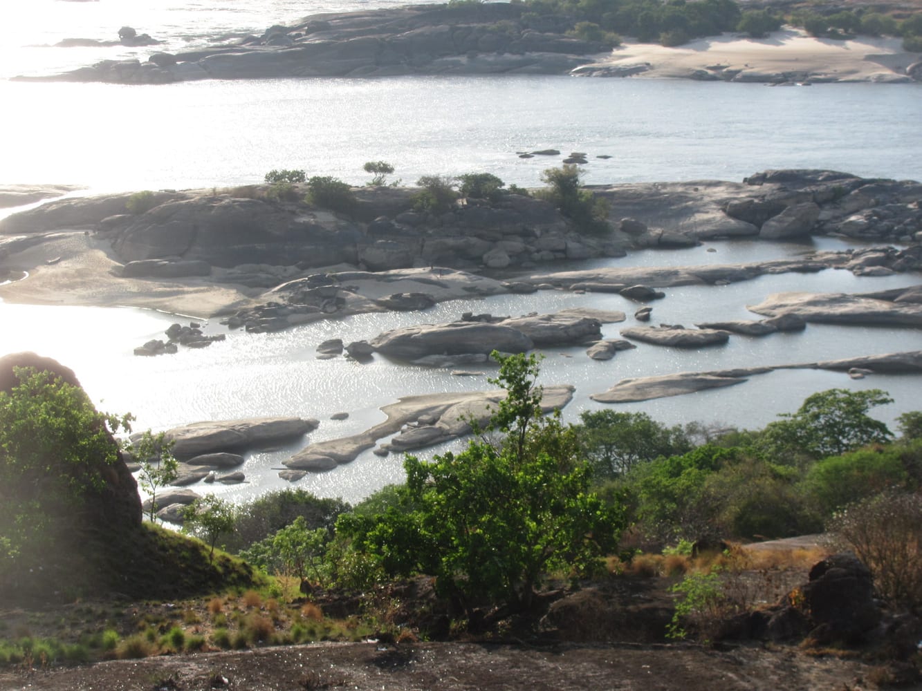
Rapids where the Orinoco runs over granite rocks near Puerto Ayacucho in the south, on the border with Colombia. The surrounding landscape of forest and rock domes is part of the Amazon region.
Photo: Aguirrejos · CC BY-SA 3.0 · Wikimedia CommonsEntry requirements, visas, health advice and safety conditions change. Before you travel, check Smartraveller and the official sources of each country.