The world’s largest salt flat, a dazzling white plain high in the Andes that turns into a giant mirror after rain, with coloured lagoons and volcanoes to the south.
Most visitors explore the salt flat from the town of Uyuni, either on a full-day trip or on a three-day four-wheel-drive journey that continues south through the high lagoons of the Eduardo Avaroa reserve to the Chilean border. Comfortable salt hotels near the edge of the flat make it possible to see sunset and sunrise. The whole region lies at well over 3,600 metres, so plan time to acclimatise in La Paz, Sucre or Potosí first. Bring warm layers, as nights are very cold.
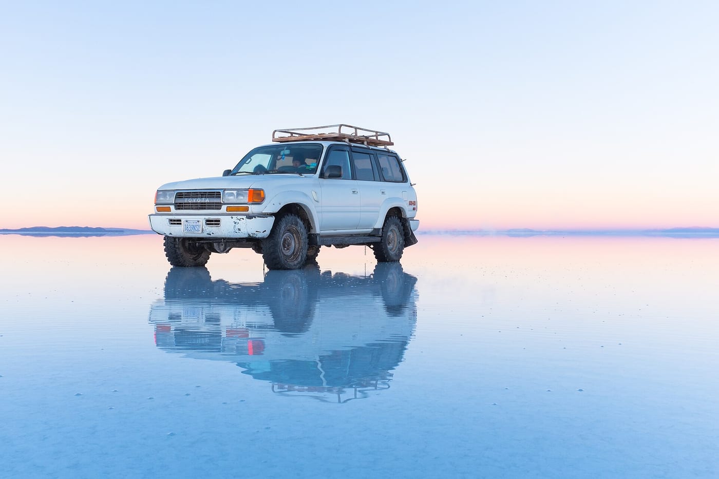
An immense, almost perfectly flat crust of salt, hexagonal patterns in the dry season and a mirror reflecting the sky after rain. Sunglasses and sunscreen are essential because of the strong glare.
Photo: Christopher Crouzet · CC BY-SA 4.0 · Wikimedia Commons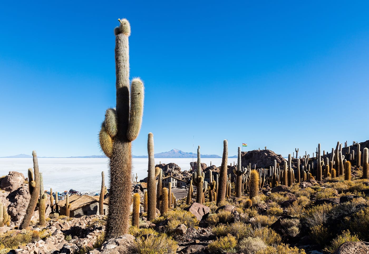
A rocky island in the middle of the salt flat, covered in giant columnar cacti, with a short trail to a viewpoint. It is a usual lunch stop on full-day tours, when the flat is dry enough to cross.
Photo: Diego Delso · CC BY-SA 4.0 · Wikimedia Commons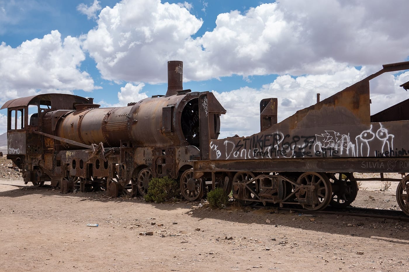
Rusting steam locomotives and carriages from the early railway era lie abandoned on the plain just outside Uyuni. It is usually the first stop of a tour and a favourite for photographs.
Photo: PsamatheM · CC BY-SA 4.0 · Wikimedia Commons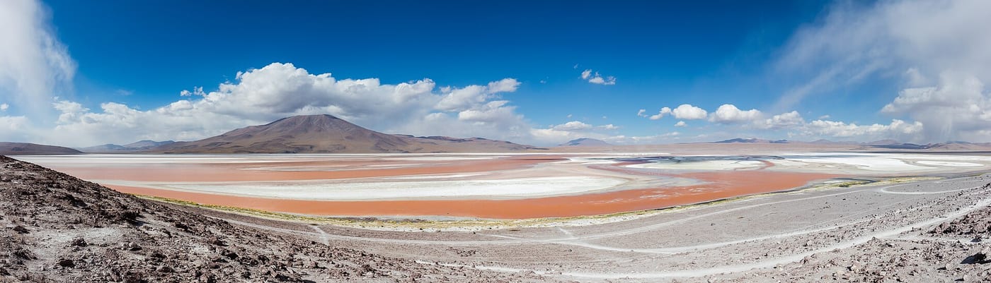
A shallow lake coloured red by algae and minerals, dotted with white borax islands and flocks of flamingos. It lies at about 4,300 metres, so walk slowly.
Photo: Diego Delso · CC BY-SA 4.0 · Wikimedia Commons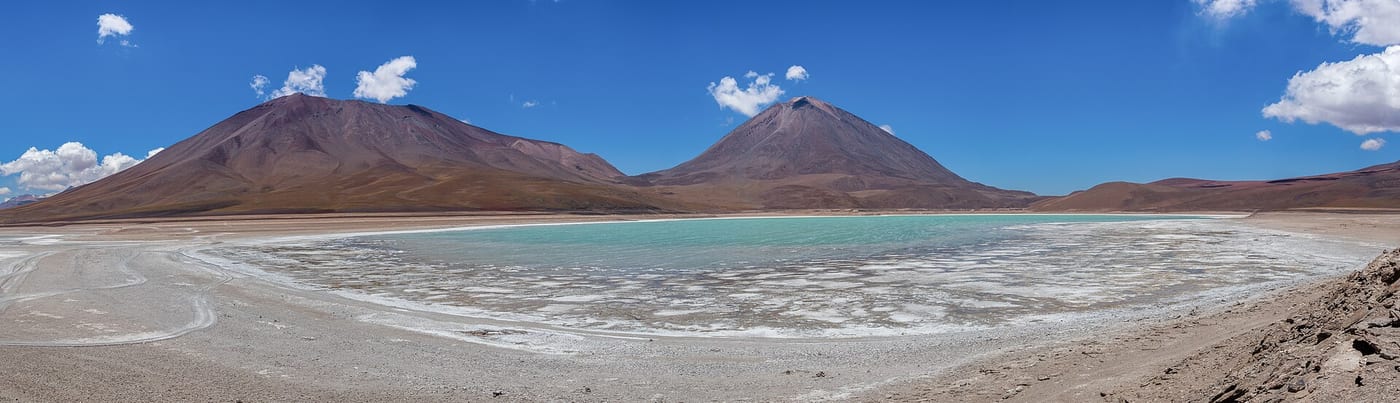
A wind-swept green lagoon at the foot of the cone-shaped Licancabur volcano, near the border with Chile. Its colour is strongest when the wind stirs the water, usually from late morning.
Photo: Diego Delso · CC BY-SA 4.0 · Wikimedia CommonsEntry requirements, visas, health advice and safety conditions change. Before you travel, check Smartraveller and the official sources of each country.